Is there sargassum on Curaçao tomorrow?
Low risk at all 9 beaches with data. NOAA satellite data of Thu 19 Nov 2026 · beach by beach
Best beach tomorrow: Playa Lagun: low seaweed; calm.
Tomorrow's exitLow seaweed risk: the water is clear, so spend the day on it.
 Tomorrow's pick on the water
Discover Scuba Dive in Curacao
Lagun Ocean Resort
Also on GetYourGuide
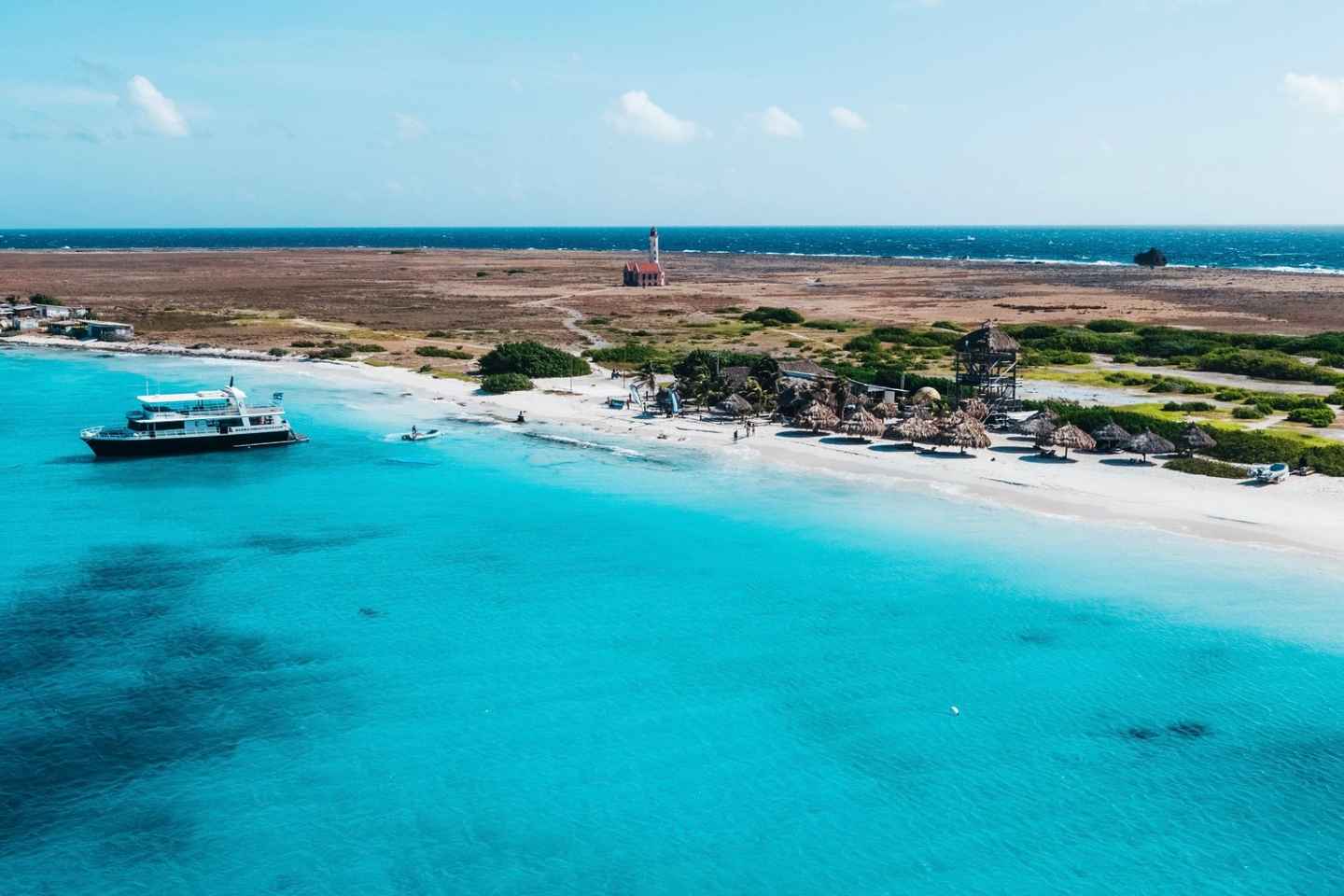 Tomorrow's pick on the water
Full-Day Boat Trip
More tours
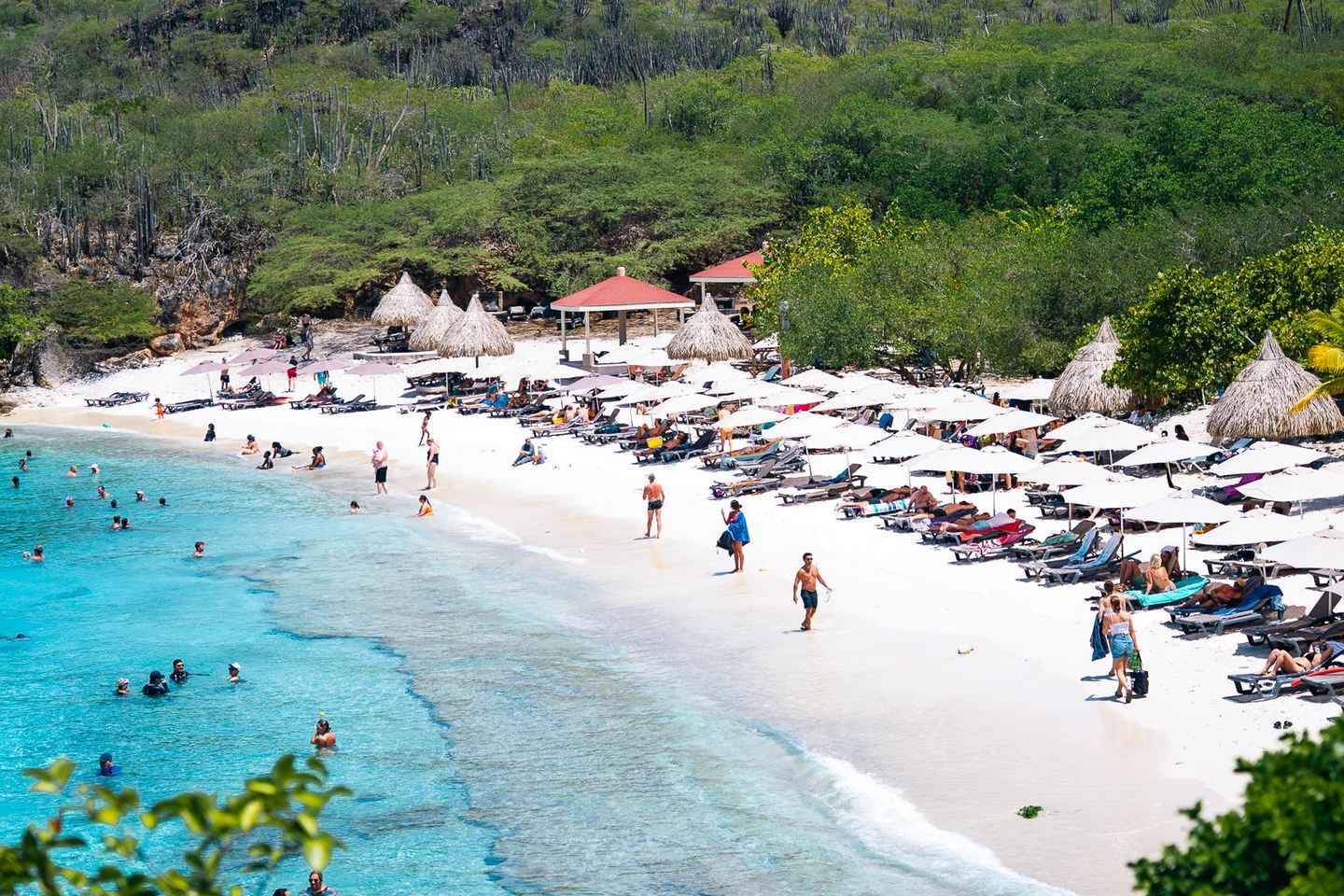
Hato Caves, Turtle Beach, Kenepa, and Flamingos

Klein Curaçao Catamaran Yacht Tour with Snorkeling

Turtle Bay & Blue Room Boat Tour with Snorkeling

Klein Curacao Catamaran Day Trip with Snorkeling

Half-Day Hato Caves, Flamingos, & Beach Tour
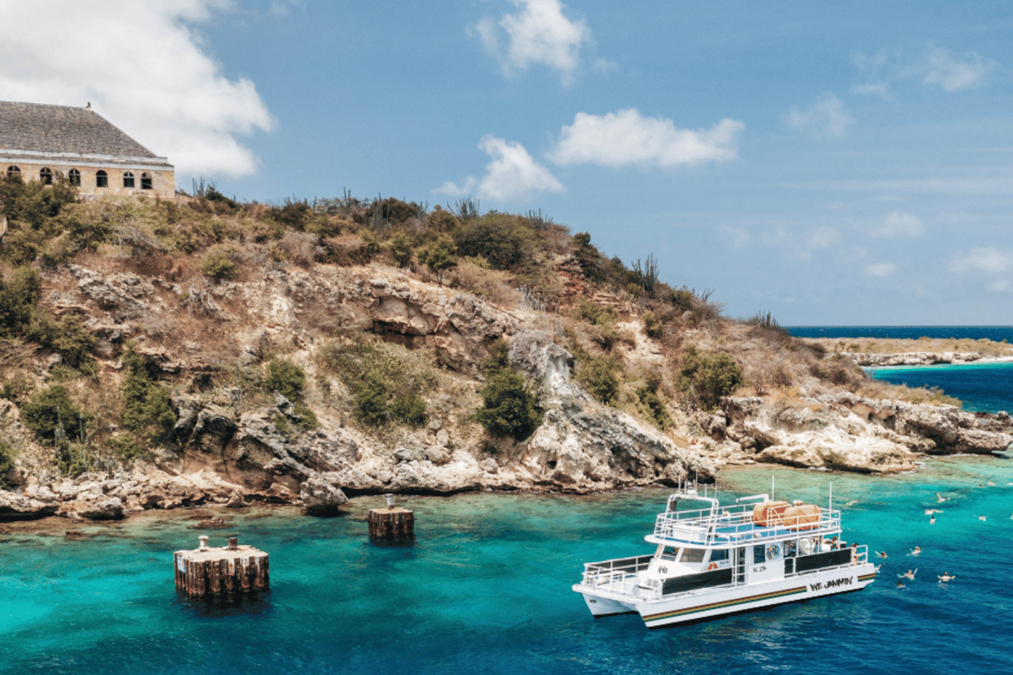
Snorkel Cruise with BBQ Lunch and Open Bar
Beach by beach
| Beach | Faces | Sargassum | Sea tomorrow |
|---|---|---|---|
| Cas Abao | SW | Low | Calm |
| Daaibooi | SW | Low | Calm |
| Grote Knip (Kenepa Grandi) | WSW | Low | Calm |
| Jan Thiel | S | Low | Calm |
| Kleine Knip | SW | Low | Calm |
| Mambo Beach | SSW | Low | Calm |
| Playa Forti | W | Low | Calm |
| Playa Lagun | W | Low | Calm |
| Playa Piskado (Grandi) | W | Low | Calm |
Sargassum: NOAA's class for the stretch of coast nearest the beach, data of Thu 19 Nov 2026. Sea: our rating from the wind forecast.
Is there seaweed on Curaçao tomorrow?
Tomorrow, NOAA's satellite risk for Curaçao is low at 9 beaches (data of Thu 19 Nov 2026). Curaçao's beaches are coves along the calm southwest coast, from beach clubs near Willemstad to quiet bays in the west, an hour's drive away. The north coast takes the wind and waves head-on.
The last two weeks
Beaches per risk level, per NOAA satellite file.
| Day | Low | Medium | High | Worst |
|---|---|---|---|---|
| Thu 19 Nov | 10 | Low | ||
| Wed 18 Nov | 10 | Low | ||
| Mon 16 Nov | 10 | Low | ||
| Sun 15 Nov | 10 | Low | ||
| Sat 14 Nov | 10 | Low | ||
| Thu 12 Nov | 10 | Low | ||
| Mon 9 Nov | 10 | Low | ||
| Sun 8 Nov | 10 | Low | ||
| Sat 7 Nov | 10 | Low | ||
| Fri 6 Nov | 10 | Low | ||
| Thu 5 Nov | 10 | Low | ||
| Wed 4 Nov | 10 | Low | ||
| Mon 2 Nov | 10 | Low | ||
| Sun 1 Nov | 10 | Low |
Planning a trip? Seaweed by month
Share of beach readings on Curaçao with a medium or high NOAA risk, per calendar month. Rarely: under 20% of readings; sometimes: 20–49%; often: 50% and more.
NOAA satellite data of Tue 1 Jul 2025 to Sun 15 Nov 2026, four days a month sampled; NOAA's archive starts in July 2025, so most months were measured in one year only. A guide for planning, not a forecast: it rates the sea near the coast, not the sand.
How to read NOAA's risk
NOAA's Sargassum Inundation Risk is an experimental product of NOAA/AOML, NOAA CoastWatch/OceanWatch and the University of South Florida. Every day it compares the floating seaweed that satellites see within 50–100 km of each stretch of coast with the weeks before, and gives the stretch one of four classes. We show them as three words:
- Low (NOAA: low): little or no seaweed near this coast.
- Medium (NOAA: warning or medium): seaweed at sea nearby; some may wash up, depending on wind and current.
- High (NOAA: high): a lot of seaweed nearby; expect it on the beach and brown water at the edge.
- No data: clouds or no coast segment near the beach; we do not guess.
What it cannot tell you: whether a hotel cleaned its beach this morning, or a raft that arrived overnight. It looks at stretches of coast of a few kilometres, not at one beach. Seaweed on the beach is not dangerous to touch, but rotting piles give off hydrogen sulphide (the smell of rotten eggs), which can bother people with asthma.
In Curaçao on a cruise ship? →Which ships are in today, how busy the port gets and which beaches and tours fit before all aboard, on Caribbean Port Day.Which beach in Curaçao tomorrow · Sargassum in other places · Is the water clean?